By integrating global whale shark satellite-tracking data with high-resolution Automatic Identification System (AIS) shipping density, this study identified major global collision-risk hotspots where whale shark core habitats overlap intensely with marine traffic, particularly in coastal aggregation sites and narrow maritime corridors. Many high-risk areas occur within national waters and overlap only partially with existing Marine Protected Areas, leaving sharks exposed to vessel strikes during surface-oriented foraging and residency periods. The results demonstrate that ship strikes represent an under-recognized threat to whale sharks and highlight the need for targeted mitigation measures—including vessel-speed reductions, traffic re-routing, dynamic management around aggregation sites, and incorporation of collision risk into marine spatial planning—to reduce mortality of this endangered species at global and regional scales.
Authors:
Freya C. Womersley, Mark G. Meekan, Luciana Ferreira, Mark J. Gibbons, Megan M. Meyers, Malcolm P. Francis, Jonathan P. Green, Andrew J. Richardson, et al.
Publisher:
PNAS
Keywords:
ship strike, marine megafauna, conservation, movement ecology, human impact
Grouop Species:
Elasmobranch
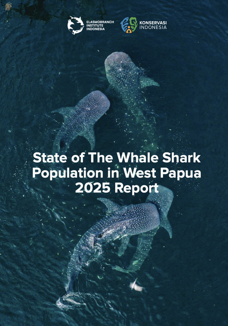
Species:
Whale shark
Scale:
Global
Year:
2022